
Le jeudi 16 novembre à 18h UTC, INVEST 98L est situé(e) sur 15 N par -81.7 W (à 327 km au NE de Nicaragua). Son intensité est de 30 kts et sa pression de 1005 hPa. Le risque de renforcement est de 70% à 48H et de 70% à 7 jours. Ce cyclone n’a impacté aucun territoire. Sur les dernières heures, le système s’est déplacé à 19 km/h au NNW. Le vent et la pression sont stables .
Prévisions du NHC :
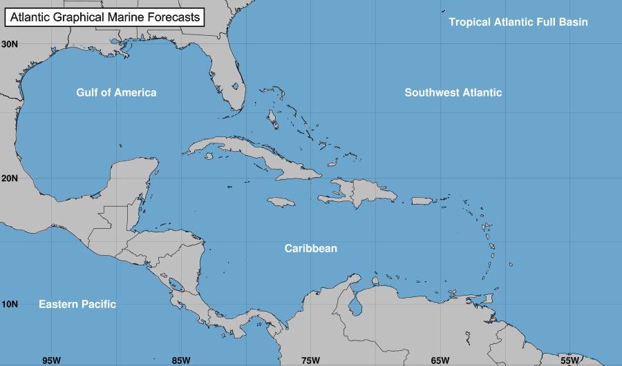
1. West-Central Caribbean Sea (AL98): Satellite data indicate that the circulation associated with a low pressure area over the west-central Caribbean Sea remains broad, but the system is producing a large area of showers and thunderstorms mainly to the east of the center of circulation. Environmental conditions appear conducive for some additional development, and a tropical depression is likely to form over the next day or two while the low moves northeastward toward Jamaica, Haiti, and eastern Cuba. An Air Force Reserve reconnaissance aircraft is en route to investigate the system. 1. Regardless of development, this system is expected to produce heavy rains which would likely result in flash flooding and mudslides over portions of the Greater Antilles, particularly over Jamaica and Hispaniola, through this weekend. Interests in Jamaica, Cuba, Haiti, the Dominican Republic, the southeastern Bahamas, and the Turks and Caicos Islands should continue to monitor the progress of this system. Tropical storm watches could be required for some of these areas as early as this afternoon.
Formation chance through 48 hours…high…70 percent.
Formation chance through 7 days…high…70 percent.
Tracking NHC pour le cyclone
Position
Dissipé
Catégorie
Catégorie actuelle : Dissipé
Catégorie Max :
Vent
Dernier relevé : kts / 0 kmh
Max : kts / 0 kmh
Cartes de prévision pour
Sources : NHC & NRL
NHC
NRL
Image non disponible

