
Le samedi 5 octobre à 12h UTC, INVEST 92L est situé(e) sur 21.9 N par -95.2 W (à 274 km à l’Est de Mexico). Son intensité est de 30 kts et sa pression de 1007 hPa. Le risque de renforcement est de 70% à 48H et de 90% à 7 jours. Sur les dernières heures, le système s’est déplacé à 15 km/h au Nord. Le vent est stable et la pression est en baisse de 2 hPa.
Prévisions du NHC :
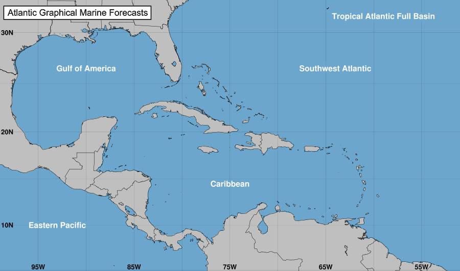
1. Gulf of Mexico (AL92): Showers and thunderstorms associated with a broad area of low pressure located over the southwestern Gulf of Mexico are gradually becoming better organized. Development of this system is expected, and a tropical depression or storm is likely to form later today or on Sunday while it moves slowly eastward over the southwestern Gulf of Mexico. By early next week, the system is forecast to move faster eastward or northeastward across the central and eastern Gulf of Mexico where additional strengthening is likely. Interests on the Yucatan peninsula of Mexico, the Florida Peninsula, the Florida Keys, and the northwestern Bahamas should monitor the progress of this system. Regardless of development, locally heavy rains could occur over portions of Mexico during the next day or two, and over much of Florida late this weekend through the middle of next week.
Formation chance through 48 hours…high…70 percent.
Formation chance through 7 days…high…90 percent.
Tracking NHC pour le cyclone
Position
Dissipé
Catégorie
Catégorie actuelle : Dissipé
Catégorie Max :
Vent
Dernier relevé : kts / 0 kmh
Max : kts / 0 kmh
Cartes de prévision pour
Sources : NHC & NRL
NHC
NRL
Image non disponible

