On April 2 of each year, Pr Philip J. Klotzbach of the Atmospheric Research Department at the University of Colorado and his team presented a first hurricane forecast 2020. This forecast has become over the years a reference for the entire scientific community and is taken up by the largest organizations, such as the NOAA.
Forecast 2023 | Average | 2022 | 2021 | 2020 | |
---|---|---|---|---|---|
Nb of named storms | 18 | 14.4 | 14 | 21 | 30 |
Of stormy days | 90 | 69.4 | 56.25 | 78 | 118 |
No. of hurricanes | 9 | 7.2 | 6 | 7 | 13 |
No. of hurricane days | 35 | 27 | 23 | 27.5 | 34.76 |
No. of major hurricanes | 4 | 3.2 | 3 | 4 | 6 |
No. of major hurricane days | 9 | 7.4 | 10 | 13.75 | 8.75 |
Cumulative energy (ACE) | 160 | 123 | 142 | 145 | 180 |
Summary
The 2020 hurricane season in the Atlantic basin is forecast to be more active than average (1981-2010).
Details of the 2020 hurricane forecast
The hurricane forecast for a few months is based on 2 major parameters: the situation and the evolution of the oscillation ENSO and the situation and evolution of surface water temperatures in the MDR.
Prediction ENSO for this summer and autumn is for a passage of the warm neutral phase (typed El Nino) to a cold neutral phase (typed La Nina) or even a phase La Nina weak at the end of the period.
Oscillation ENSO is decisive in a hurricane season. Statistically, the seasons under the influence El Nino are not very active (cooler water and more than shear) while the seasons under influence La Nina are much more active. During neutral phases it is more difficult to predict cyclonic activity because other parameters take over
When the forecast was written at the end of March, temperature anomalies were positive over the entire tropical Atlantic. This is one of the reasons for the planned activity. Since then things have evolved a little with a weakly negative area on the east of the MDR (Africa side) but overall surface temperatures are generally high over the southern half of the North Atlantic.
It should be noted that the temperatures are high between the Bahamas and Bermuda which corresponds to the zone of the 2 systems which have already emerged in 2020.
The very cool water temperature over the North Atlantic suggests that AMO is in a colder phase. This is usually a sign that the tropical Atlantic is cooler too, which is not the case this year. This situation is part of the unknown news that climate change is weighing on hurricane forecasts and the reality of the seasons.
Conclusion
The 2020 hurricane forecast envisages a more active season than normal, but you must never lose sight of the fact that whatever its intensity, it only takes one cyclone on your territory for it to be extremely active at your level.
These forecasts have 2 particularities:
- They are uncertain like all atmospheric forecasts
- They are global which makes it impossible to anticipate for a territory
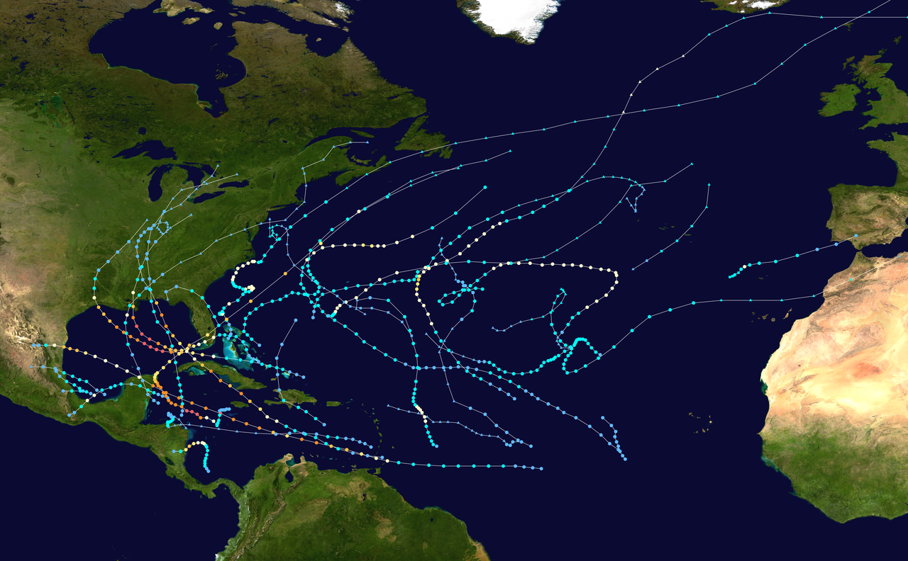
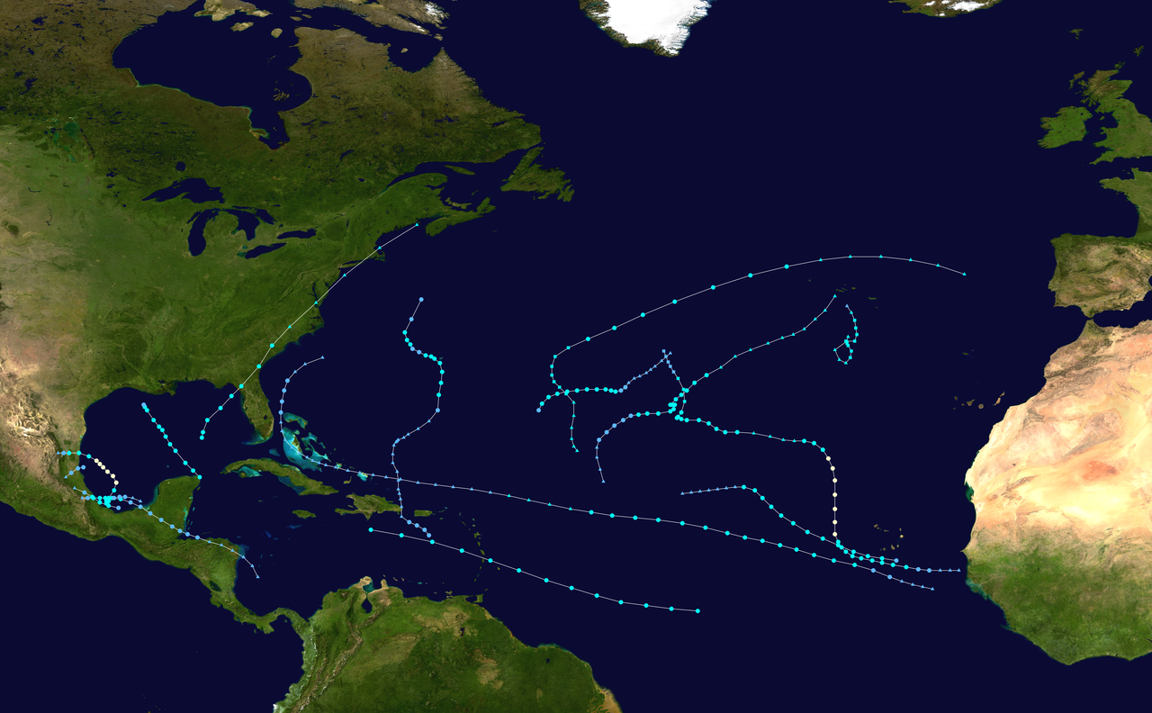
We can take the case of the 2005 season, one of the most active of the last 50 years, and yet the West Indies has not been touched once. Conversely, during the 2013 season, which was extremely calm, the West Indies was impacted.
Consequently, whatever the forecast, we must prepare each season in the same way, as if our territory was going to be impacted. This is the only solution to be as resilient as possible.
Download the full original document in PDF
The next forecast will be released by the same team on June 4 and will be more refined.